
Exercise 3: Polar tracking
Polar orbiting satellites circle the Earth from north to south, passing over the poles. Their unique path allows them to capture consistent imagery of the same areas at roughly the same time each day. This makes them invaluable for monitoring changes in weather, the environment, and natural disasters.
Unlike geostationary satellites, polar orbiting satellites are always moving across the sky at particular times of the day. This means ground stations must track them (point and move) to maintain a signal connection, making reception more challenging.
Using the ground station and the Dashboard, select a target Polar orbiting satellite and attempt to receive a signal.
- Plan a satellite link
- Capture a signal from a Polar Orbiting satellite
1. Select a target satellite:
- Objective: Target a polar orbit satellite in view of the ground station.
- Hints: See suggested satellites in datasheets section.
2. Determine Azimuth/Elevation (Azi/Ele) values:
- Objective: Find the target satellite position in the sky (Azi/Ele) relative to the ground station.
- Tools: Use the Dashboard for accurate estimates.
3. Schedule the satellite pass:
- Objective: Plan the motion of the ground station’s dish by defining waypoints.
- Tools: See the ground station datasheet describing rotor performance and book via Dashboard.
- Considerations: Ensure to stay within ground station performance limitations for rotor speed and maximum recording duration (4 mins) when defining waypoint time+
4. Post-processing:
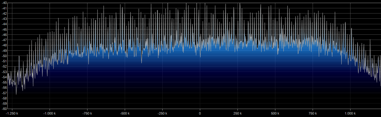
- Objective: Identify signal reception
- Tools: Install and use SDR# to view baseband recording.